News
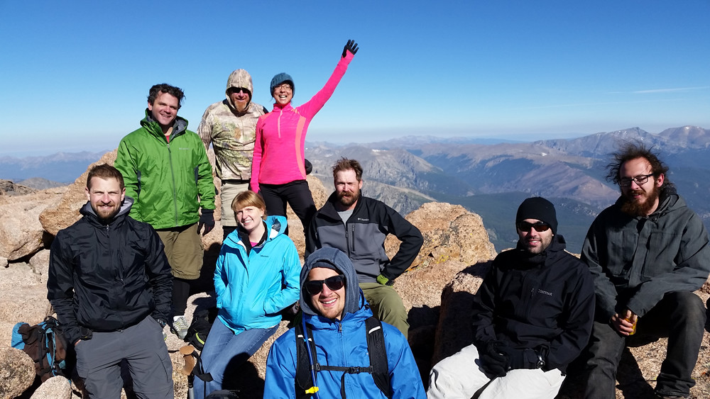
CPP employees climb a fourteener
We don’t like to brag (Okay, maybe just a little…), but in addition to attracting some of the world’s most talented wind engineers and atmospheric scientists, CPP also happens to enjoy one of the world’s most beautiful settings. The view from our Fort Collins offices includes Colorado’s Front Range, a line of mountains that rises abruptly out of the Great Plains to our west. And one mountain, Longs Peak, rises above them all.
At 14,259 feet (4,346 meters) above sea level, Longs Peak is a local landmark. It and its neighbor, 13,916 foot (4,242 meter) Mount Meeker, form a pair of peaks that is visible all the way from metro Denver to the Wyoming border. Northern Arapaho natives and French trappers called them Nesotaieux and les deux Oreilles, respectively, meaning “the two guides” and “the two ears.” Of the 53 to 55 peaks in Colorado that breach the magical 14,000 foot (4,267 meters) mark—the actual count varies depending upon how one defines a peak—Longs is widely regarded as one of the most difficult.
 So naturally, a group of CPP employees set out to climb it at the beginning of September. Routes on Longs require technical equipment and skill most of the year, but for about two months in late summer, the so-called Keyhole Route becomes snow-free and can be climbed without special gear and training. One still, however, needs a good head for heights.
Hikers begin in the early hours of the morning in order to reach the summit and return to treeline before Colorado’s notorious afternoon thunderstorms threaten the sorts of lightning shows that are best appreciated from a safe distance. Hiking by headlamp isn’t necessarily the greatest choice for views, but getting an early alpine start is essential for getting down safely. Fortunately for our group, September usually sees much less thunderstorm activity than July and August.
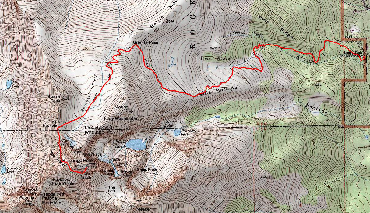
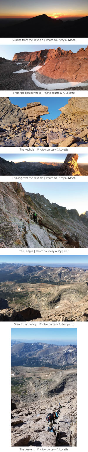
The trail climbs through Goblins Forest before emerging above treeline about two miles from the trailhead. It circles around Mount Lady Washington and ascends to the Boulder Field below Longs’s north face before reaching the Keyhole, a gap in the ridge connecting Longs Peak to neighboring Storm Peak. After passing through the Keyhole, hikers emerge onto a series of rock ledges, where the trail ends and bulls-eye paint blazes mark the way.
A strenuous climb up the notorious scree gulley known as the Trough leads to a hair-raising traverse of the aptly named Narrows, a natural sidewalk that precariously hugs the cliffs of the peak’s southwest face. Finally, it’s an all-limbs-on-deck scramble up the inclined granite of the Homestretch to the summit. The summit itself is wide and flat, about the size of an American football field, which is fortuitous given the popularity of the climb on fine summer weekends.
Perhaps the most dangerous part of the whole thing is doing it all in reverse on the way down, when tired muscles increase the likelihood of a fall. But after 15 miles of hiking, nearly a mile of elevation gain, and the same amount of loss, hikers return to the trailhead exhausted and ready for one of Colorado’s many refreshing craft beers.
Congratulations to our team for a safe and enjoyable climb of Northern Colorado’s granite monarch!